Students Blend NASA Data and Indigenous Knowledge to Track Maine Coastal Erosion
0
·22 views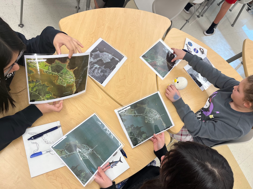
Students at the Pleasant Point Passamaquoddy Reservation in Downeast Maine are combining NASA science with Indigenous knowledge to study coastal erosion. The reservation, known as Sipayik, sits along the shores of Passamaquoddy Bay, where generations of Indigenous people have lived in close relationship with the coast. The shoreline is now eroding at an accelerating pace, threatening land that carries deep cultural and historical significance for the community. The project reflects a broader effort to integrate traditional ecological knowledge with modern scientific tools to better understand environmental change.
This is an AI-generated summary. ShortSingh links to the original source for the complete article.

Discussion (0)
Log in to join the discussion and vote.
Log in