SShortSingh.
Back to feed

NASA Tracks Earth's Shifting Center of Mass Caused by Seasonal Water Movement

0
·1 views

NASA scientists are monitoring subtle shifts in Earth's center of mass driven by seasonal redistribution of water across the planet. These shifts, though only fractions of an inch, cause the center of mass to oscillate relative to Earth's geometric center. Accurate knowledge of this reference point is critical for satellite navigation systems and precise elevation measurements. A NASA-led research team is studying these oscillations to improve the reliability of space-based positioning data.

Read the full story at NASA

This is an AI-generated summary. ShortSingh links to the original source for the complete article.
Discussion (0)

Log in to join the discussion and vote.

Log in

Related stories

0
SpaceNASA ·

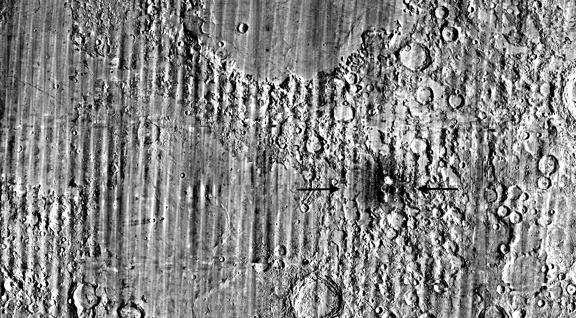
NASA's LRO Discovers Rare New Crater on Moon in Once-in-a-Century Find

NASA scientist Robert Wagner made an unexpected discovery while performing a routine data-quality check on imagery from the Lunar Reconnaissance Orbiter (LRO). He noticed an unusually large bright spot surrounded by a dark halo on a detailed map of the Moon's surface. The distinctive pattern suggested that lunar material in the area had been significantly disturbed, indicating a recent impact. The find is being described as a once-in-a-century event, given how rarely such fresh, large craters are observed forming on the Moon.

0
SpaceNASA ·

NASA Restores Guam Tracking Station Three Years After Typhoon Mawar Damage

NASA officially marked the full restoration of its Guam Remote Station with a ribbon-cutting ceremony on September 10. The station had been severely damaged by Super Typhoon Mawar in 2023, triggering a recovery effort spanning more than three years. Engineers from multiple NASA teams completed the most technically complex phase of the rebuild on July 1. The Guam Remote Station plays a key role in NASA's global tracking and communications network.

0
SpaceNASA ·

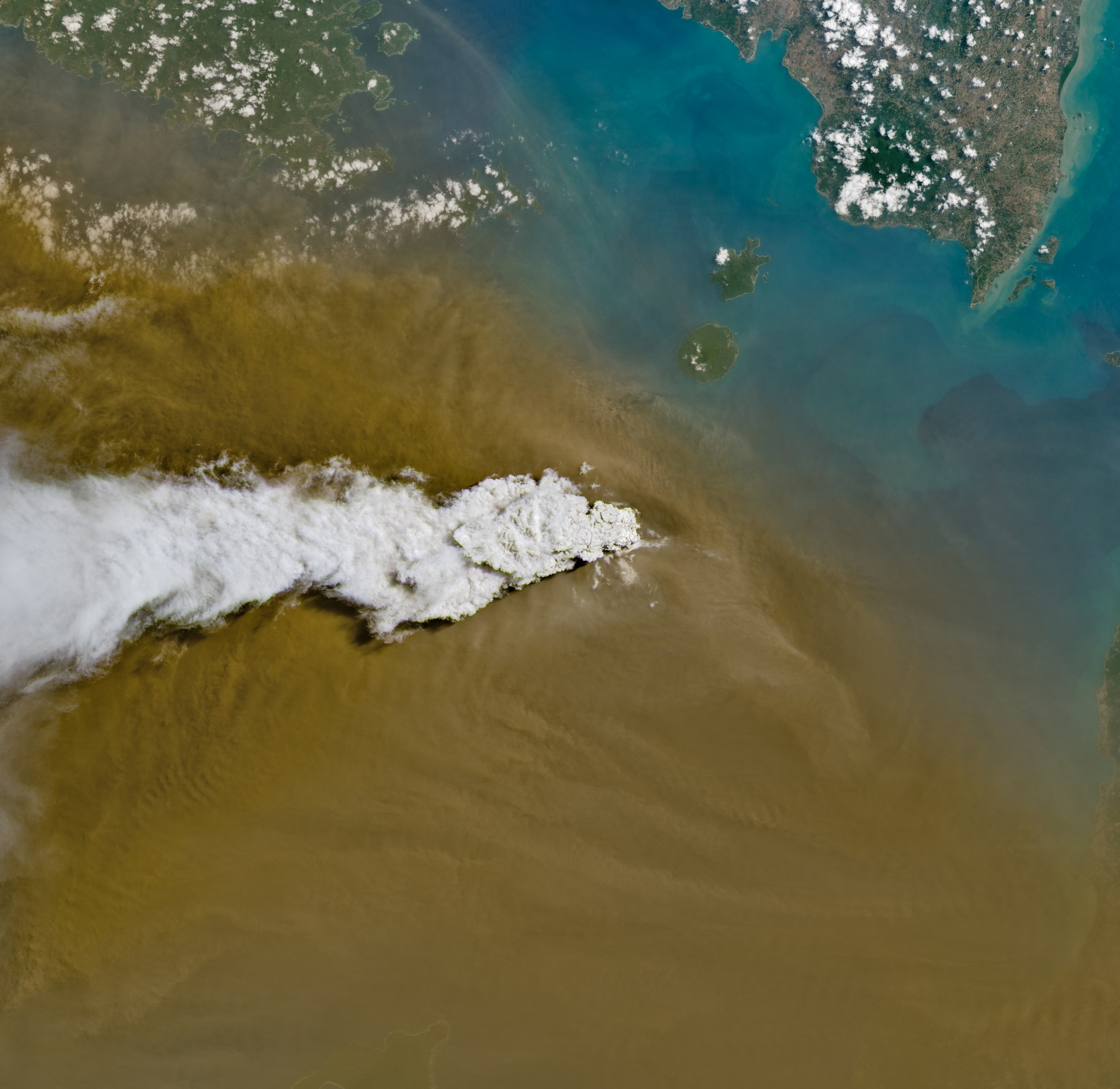
Indonesia's Anak Krakatau Volcano Captured Mid-Eruption in New Landsat 8 Image

NASA's Landsat 8 satellite captured an image of Anak Krakatau erupting ash and volcanic gases on September 5, 2026, using its Operational Land Imager instrument. The volcano is located in the Sunda Strait between the Indonesian islands of Java and Sumatra. Anak Krakatau is a small but persistently active volcano, with eruptions occurring on a regular basis. While most of its activity is considered relatively mild, the volcano is known to occasionally produce more significant events.

0
SpaceNASA ·

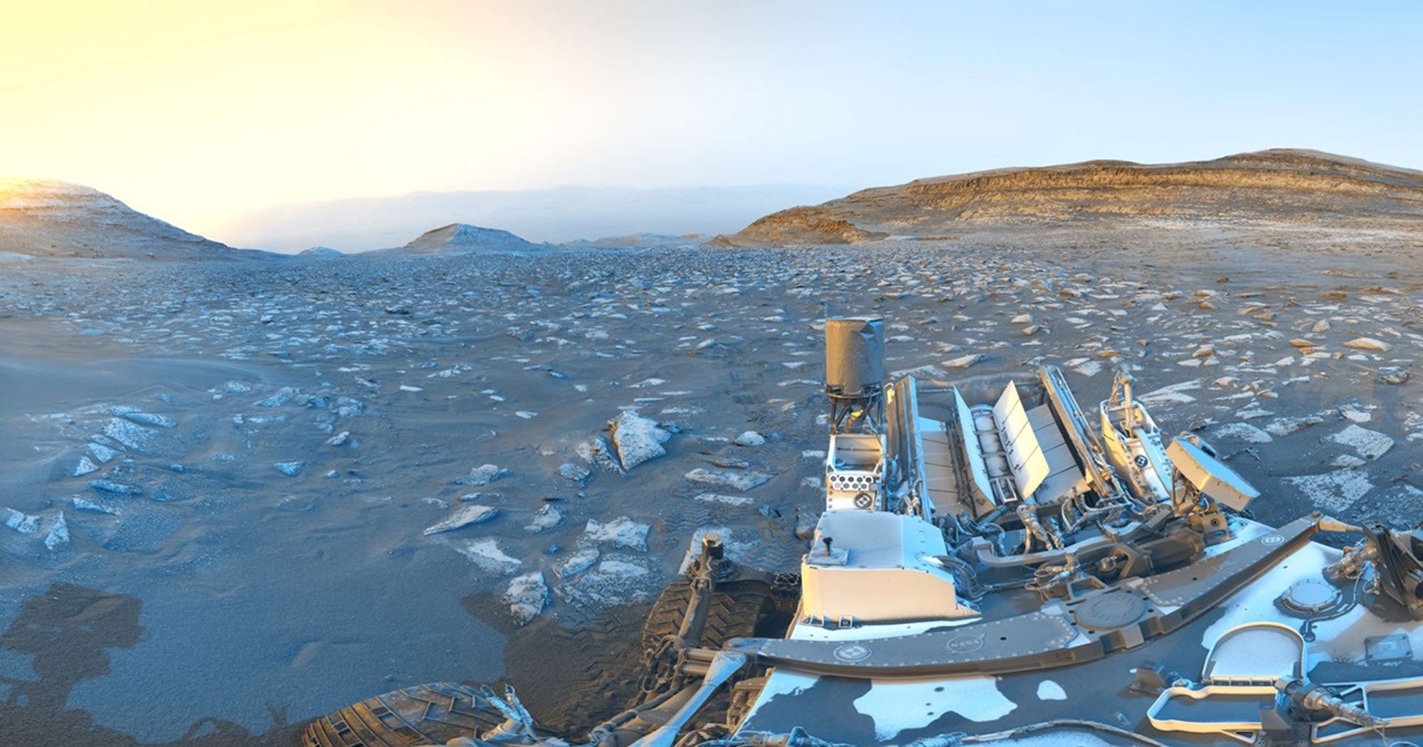
Curiosity Rover Marks 5,000 Days on Mars With Scenic Panorama Postcard

NASA's Curiosity rover has reached the milestone of 5,000 Martian days of surface operations. To mark the occasion, the rover captured panoramic images from a location nicknamed 'Chocolatal,' a sand ridge on Mars. The images were taken using Curiosity's black-and-white navigation cameras on two separate occasions — the morning of August 30, 2026, and the evening of September 2, 2026, local Mars time. The dual time-of-day shots highlight how lighting conditions differ across the Martian day. Together, the images were combined into a commemorative postcard celebrating the rover's extended mission.

NASA Tracks Earth's Shifting Center of Mass Caused by Seasonal Water Movement · ShortSingh