NASA Releases Quality Assessment of Polar Geospatial Center EarthDEM Products
0
·1 views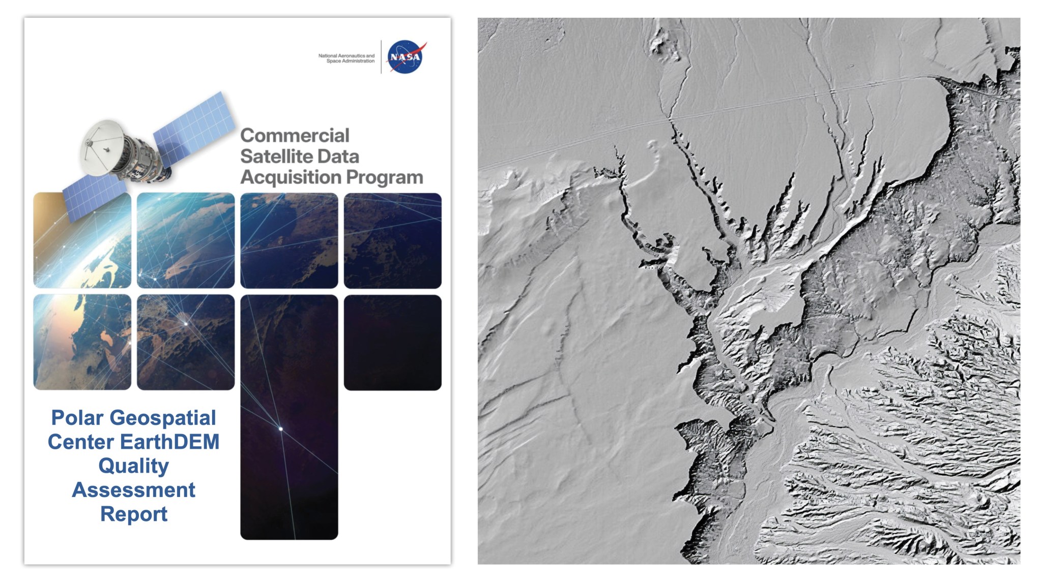
NASA's Commercial Smallsat Data Acquisition (CSDA) program has published a quality assessment report evaluating the EarthDEM elevation products from the Polar Geospatial Center. The report is designed to help users better understand the reliability and accuracy of commercially derived Digital Elevation Models (DEMs). EarthDEM products are used to map and monitor Earth's surface topography, particularly in polar regions. The assessment serves as a resource for the scientific and user community when selecting and applying these elevation datasets in their work.
This is an AI-generated summary. ShortSingh links to the original source for the complete article.


Discussion (0)
Log in to join the discussion and vote.
Log in