Copernicus Browser Adds Wildfire Tracking Tools Amid Record Fire Season
0
·51 views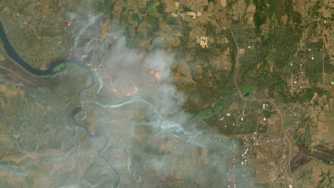
The European Union's free Copernicus satellite service has updated its browser platform with new wildfire visualization features. The upgrade makes it easier for users to monitor and track active wildfires using satellite imagery. The enhancement comes as Europe and other regions are experiencing a record-breaking wildfire season. Copernicus, which provides open-access Earth observation data, aims to support emergency responders, researchers, and the general public with improved fire monitoring tools.
This is an AI-generated summary. ShortSingh links to the original source for the complete article.


Discussion (0)
Log in to join the discussion and vote.
Log in