UN Resolution Backs Map Corrections, Shows Arunachal and Aksai Chin Outside India
0
·1 views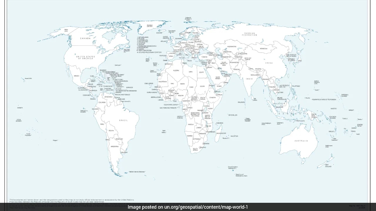
The United Nations General Assembly passed a resolution last week titled 'Correct the Map,' supported by the African Union. The resolution calls for more accurate and equitable cartographic representation of global regions, with a primary focus on Africa. However, a UN map associated with the resolution depicts Arunachal Pradesh and Aksai Chin outside Indian borders. Arunachal Pradesh is recognized internationally as Indian territory, while Aksai Chin remains a disputed region between India and China. The development is likely to draw diplomatic attention from New Delhi given the sensitive nature of both territorial issues.
This is an AI-generated summary. ShortSingh links to the original source for the complete article.
Discussion (0)
Log in to join the discussion and vote.
Log in