UN Backs Equal Earth Map to Fix Size Distortions of Countries Like India
0
·1 views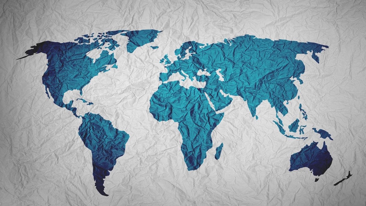
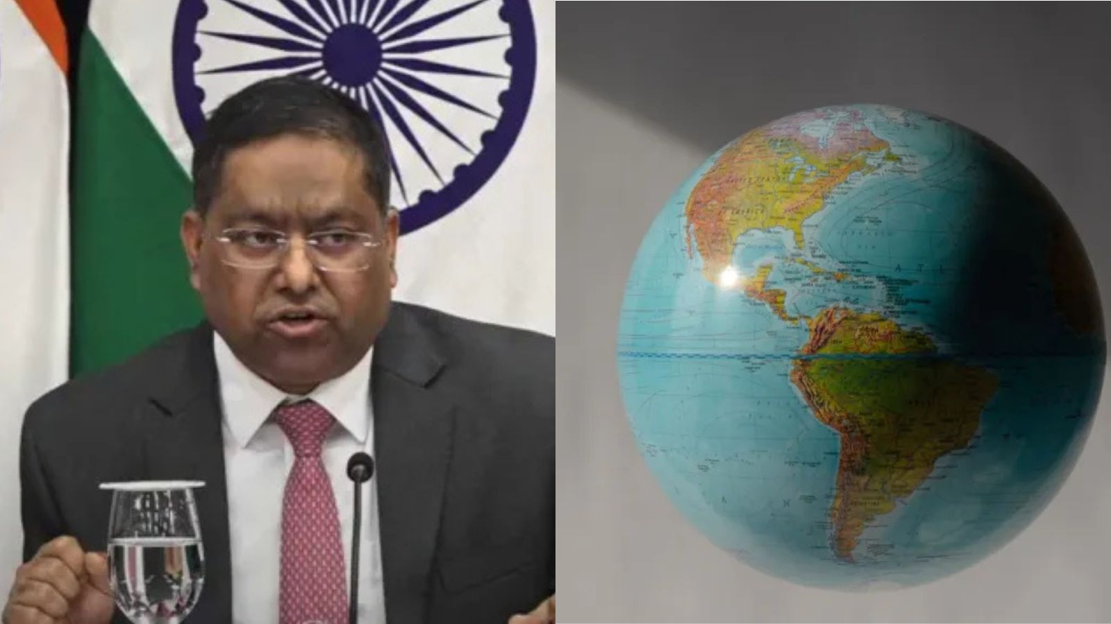
The United Nations has endorsed replacing the Mercator projection with the Equal Earth map projection. The Mercator map, which has been widely used for centuries, distorts the size of countries and continents, making nations like India appear smaller than they actually are. The Equal Earth projection is designed to represent the true relative sizes of landmasses more accurately. This shift aims to provide a fairer and more realistic visual representation of the world's geography.
This is an AI-generated summary. ShortSingh links to the original source for the complete article.

Discussion (0)
Log in to join the discussion and vote.
Log in