Satellite Images Reveal Trishuli River in Nepal Expanded Up to 6 Times Its Size
0
·1 views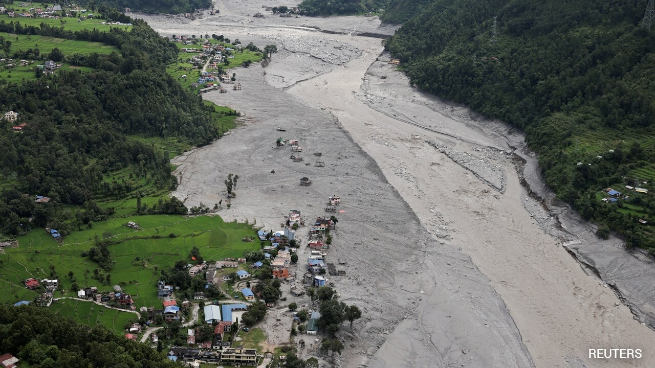
Satellite imagery analyzed by NDTV shows the Trishuli River in Nepal swelled to up to six times its normal width during recent flooding. The analysis drew on data from Vantor, Planet Labs PBC, Google Earth, and Google Open Buildings. The river, which carried large volumes of destructive slurry, dramatically altered its course during the disaster. The flooding caused widespread destruction, with homes and structures swallowed by the surging waters.
This is an AI-generated summary. ShortSingh links to the original source for the complete article.

Discussion (0)
Log in to join the discussion and vote.
Log in