India and France Partner on TRISHNA Satellite to Map Earth's Water Resources
0
·1 views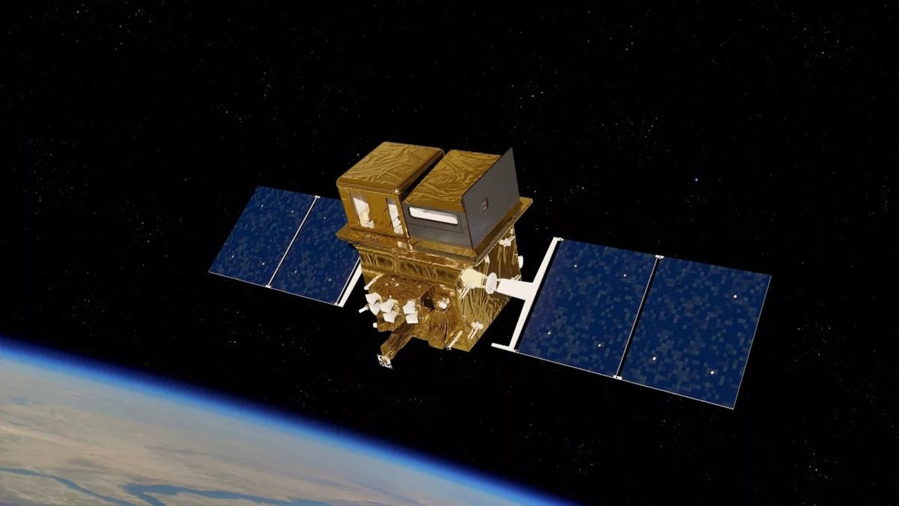
India and France are collaborating on a joint space mission called TRISHNA, which stands for Thermal Infrared Imaging Satellite for High-resolution Natural Resource Assessment. The satellite is designed to map Earth's water sources and natural resources from outer space. TRISHNA aims to deliver imagery at a resolution finer than 60 metres, offering detailed observations of the planet's surface. The mission is designed to revisit target areas multiple times each week, ensuring frequent and up-to-date data collection.
This is an AI-generated summary. ShortSingh links to the original source for the complete article.



Discussion (0)
Log in to join the discussion and vote.
Log in