SShortSingh.
Back to feed

How Ancient Lake Bonneville Shaped a Landscape of Human Endeavor

0
·1 views

Lake Bonneville was a vast prehistoric lake that once covered much of what is now the western United States. As the lake gradually dried up over thousands of years, it left behind flat, expansive salt flats known as playas. These exposed plains became remarkable natural stages for human achievement, hosting feats of engineering and technological innovation. The terrain also witnessed dramatic stories of exploration and survival against harsh conditions. Today, the legacy of Lake Bonneville endures in both the landscape and the human history it helped create.

Read the full story at NASA

This is an AI-generated summary. ShortSingh links to the original source for the complete article.
Discussion (0)

Log in to join the discussion and vote.

Log in

Related stories

0
SpaceNASA ·

Curiosity Rover Resumes Mount Sharp Ascent After Erosional Surface Detour

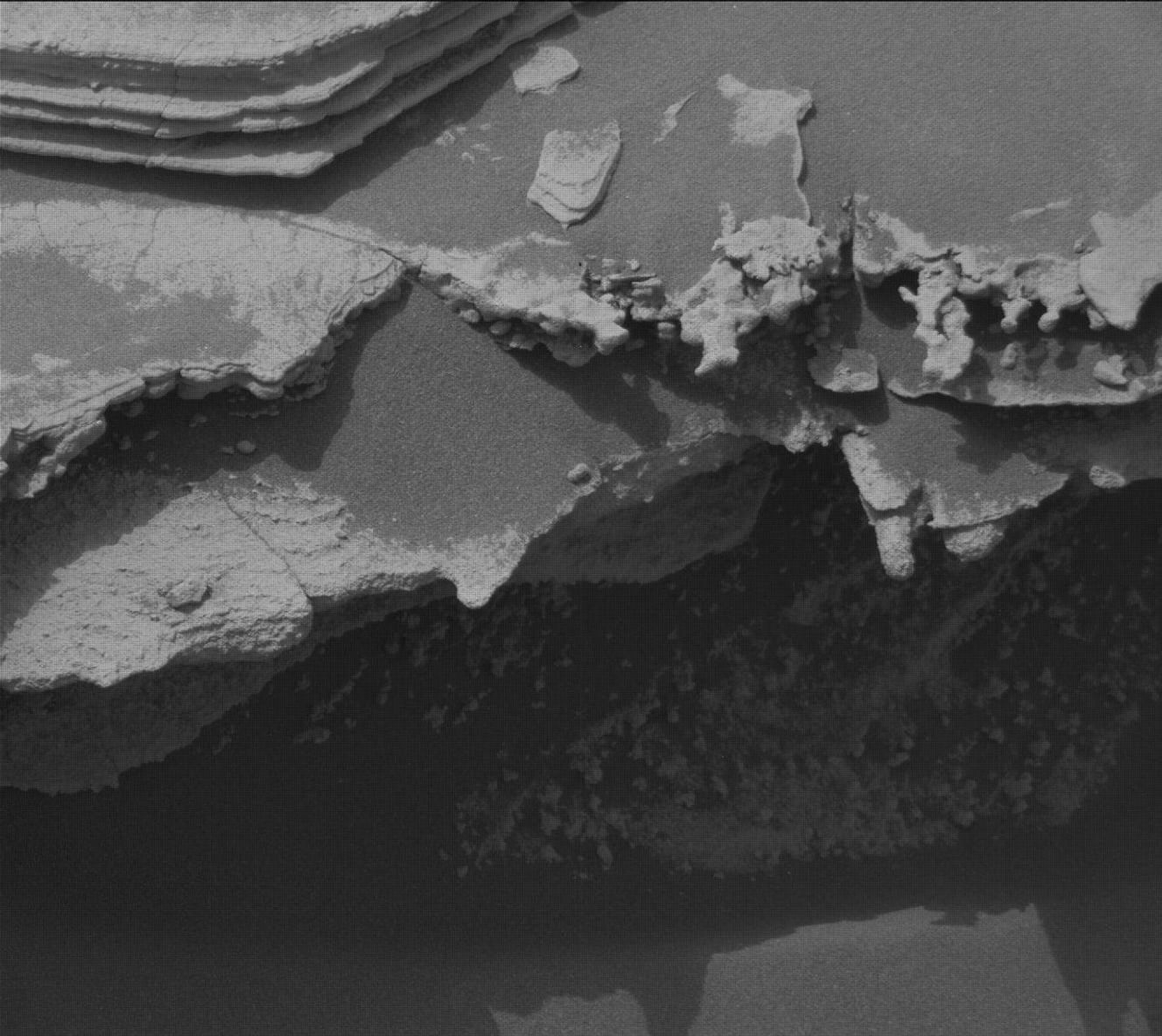
NASA's Curiosity Mars rover has returned to its primary mission of ascending Mount Sharp after a brief investigative detour. The rover had temporarily diverted course to study a feature described as an 'erosional surface' before resuming its planned route. Operations covering sols 4982 through 4987 were reported by Allison Dries-Padilla, a Mission Operations Specialist at Malin Space Science Systems. The update was filed on Friday, August 14, 2026, as part of the rover's ongoing science campaign on Mars.

0
SpaceNASA ·

APOD: 2026 August 22 – Mostly Perseids

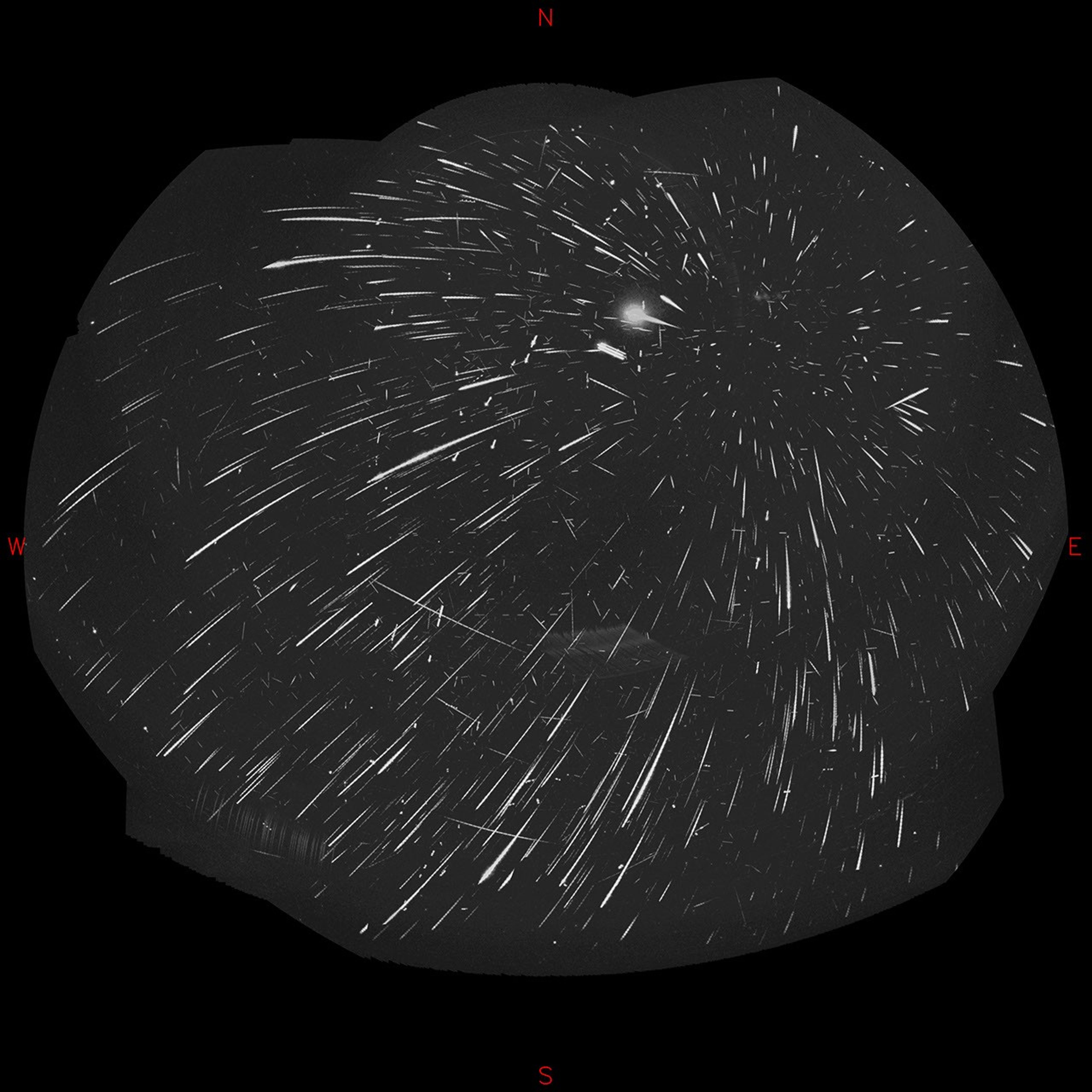
APOD Science APOD APOD: 2026 August 22… Today’s APOD Archive Submissions Index Search Calendar RSS Education About Discuss APOD Astronomy Picture of the Day Discover the cosmos! Each day a different image or photograph of our fascinating universe is featured, along with a brief explanation written by a professional astronomer. Mostly Perseids Explanation: Recorded […]

0
SpaceNASA ·

NASA Captures August Total Solar Eclipse from Ground, Air and Space

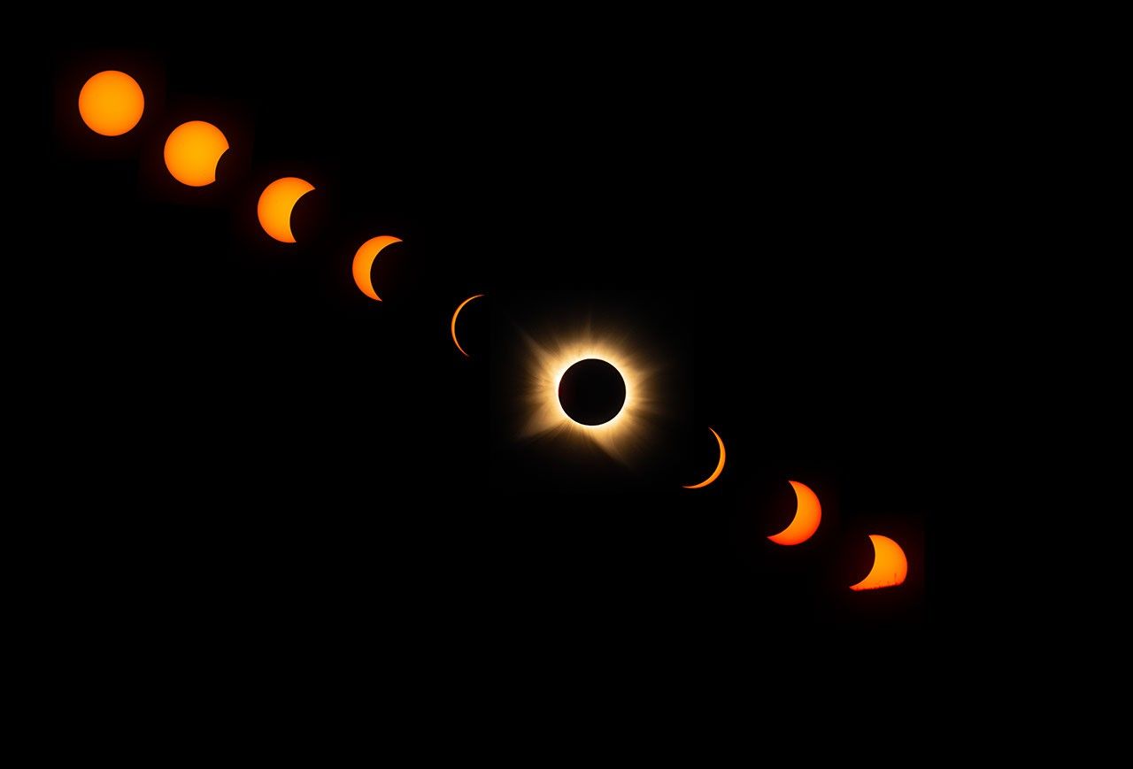
A total solar eclipse swept across Greenland, Iceland, and Spain on August 12, briefly plunging those regions into darkness. As the Moon fully blocked the Sun, observers in the path of totality were able to see the solar corona, the Sun's faint outer atmosphere, which is normally hidden by daylight. NASA deployed researchers and photographers across multiple vantage points to document the event. The agency captured imagery and data from ground level, airborne platforms, and spacecraft to study the phenomenon. Clear skies were required for ground-based observers to witness totality, making favorable weather a key factor in the experience.

0
SpaceNASA ·

NASA Updates CEA Code, a Core Tool for Propulsion and Aerospace Analysis

NASA is modernizing its Chemical Equilibrium with Applications (CEA) code, a foundational software tool widely used for propulsion system analysis. The code supports calculations involving equilibrium chemistry, rocket performance, shock waves, and detonations. It is utilized across NASA programs as well as by the broader aerospace community. The update effort is being led by Mark K. Leader at NASA's Glenn Research Center and is overseen by the NASA Engineering and Safety Center (NESC).

How Ancient Lake Bonneville Shaped a Landscape of Human Endeavor · ShortSingh